• We have updated our Community Code of Conduct. Please read through the new rules for the forum that are an integral part of Paradox Interactive’s User Agreement.

Aramenian

Major
28 Badges
Sep 26, 2017
694
1.090
  • Crusader Kings II
  • Europa Universalis IV: Third Rome
  • Europa Universalis IV: Mare Nostrum
  • Europa Universalis 4: Emperor
  • Crusader Kings III
  • Age of Wonders: Planetfall
  • Imperator: Rome
  • Imperator: Rome Deluxe Edition
  • Europa Universalis IV: Golden Century
  • Europa Universalis IV: Dharma
  • Europa Universalis IV: Rule Britannia
  • Europa Universalis IV: Cradle of Civilization
  • Knights of Honor
  • Europa Universalis IV: Mandate of Heaven
  • Europa Universalis IV: Rights of Man
  • Europa Universalis IV: Cossacks
  • Europa Universalis IV: Common Sense
  • Mount & Blade: With Fire and Sword
  • Europa Universalis IV: El Dorado
  • War of the Roses
  • Europa Universalis IV
  • Europa Universalis IV: Art of War
  • Europa Universalis IV: Conquest of Paradise
  • Europa Universalis IV: Wealth of Nations
  • Europa Universalis IV: Call to arms event
  • Majesty 2 Collection
  • Europa Universalis IV: Res Publica
  • Europa Universalis IV: Pre-order
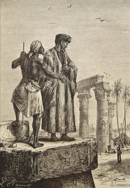
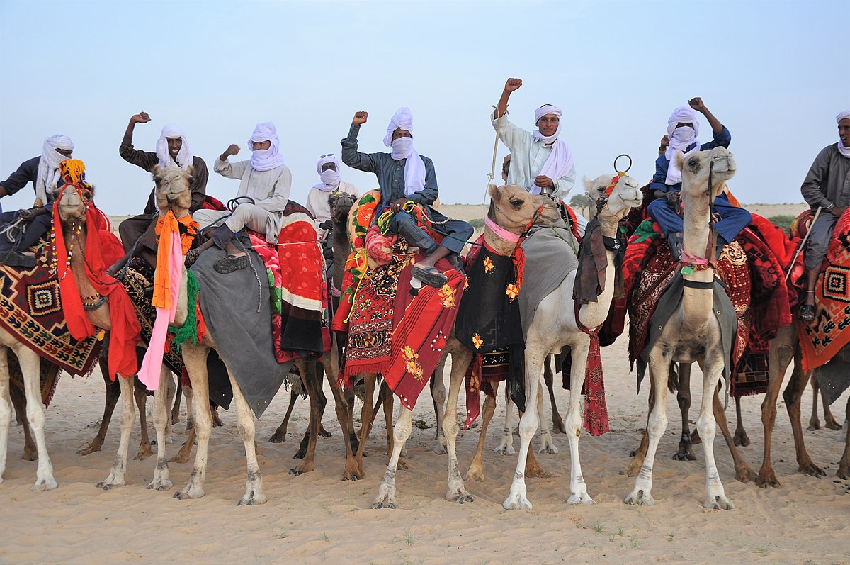
The Tuaregs in the West are called blue people and are represented in the game by two countries, Timbuktu and Air.
First, the Tuareg culture covers far too many provinces.
Tuareg culture should also be transferred to the Maghrebi cultural group.
Here are the changes that have occurred on the map.
20201031154040_1.jpg


The northern tuareg tribes are divided into.
Ajjer and Ahaggar.
Ahaggar is a vassal of Ajjer.
Ajjer is ruled by the Imanan dynasty which resides in the city of Djanet or by the Uraghen dynasty.
The oasis in southern Tassili n'Ajjer was a kind of capital for the Tuareg of the Kel Ajjer Confederation until the late 19th century . The noble clan of Imanan resided in Djanet, whom European travelers referred to as the sultans of the northern Tuareg. The Imanan put their name in an etymological context with the Islamic term " Imam " and led the origins of their gender to the Prophet Mohammedback. This line of descent is of course fictional and primarily served to justify the supremacy of the naturally weak ruling families of the Tuareg (Imenokalin). The real weakness of the ruling dynasty is shown by the fact that its members were not allowed to leave Djanet and that the real power lay in the hands of the Uraghi dynasty.
Additionally, east of Ajjer, there is the new Toubou country which includes the Tibesti Mountains.

The southern Tuareg tribes are divided into the three countries of Air, Adagh and Timbuktu, the name of the timbuktu was changed to Maghsharan
AIR.jpg


An added bonus is the Mauritanian region featured in a thread by JKiller96.
MAUR.jpg

Information in French:
Information in German:
Information in English:
 
Last edited:
  • 11Like
  • 2
  • 1
Reactions:
One of the massive problems with saharan nomadic groups is just that they are very small in number and the only reason they are independant is because of the hostile nature of the region.

There is an option to make some provinces there but make them extremely hostile and not really meant for ownership apart from some nomadic nations who perhaps much like the native Americans can migrate and own uncolonized provinces.
 
  • 2
  • 1Like
  • 1
Reactions:
I agree with the premise of your post. One minor thing is keeping with the naming conventions; if the Kel Ayr is named Air (Aïr) then the "Kel", meaning "people of", should probably be dropped. It's not necessarily needed as the clans are (mostly) named after geographic locations anyhow.

I do hope that along with this area, Mauritania, and Western Sahara are all updated at some point.
 
Last edited:
  • 3
Reactions:
I agree with the premise of your post. One minor thing is keeping with the naming conventions; if the Kel Ayr is named Air (Aïr) then the "Kel", meaning "people of", should probably be dropped. It's not necessarily needed as the clans are (mostly) named after geographic locations anyhow.

I do hope that along with this area, Mauritania, and Western Sahara are all updated at some point.
I'm already correcting. I overlooked the fact that the word kel means people
No tibesti and toubo ppl? The controlled the eastern trade routes
As for Toubou, they had their own sultanate in the oasis of Tazirbu. But I don't know exactly when it was created. I am also wondering which provinces it should control.
 
I'm already correcting. I overlooked the fact that the word kel means people

As for Toubou, they had their own sultanate in the oasis of Tazirbu. But I don't know exactly when it was created. I am also wondering which provinces it should control.

It's three years ago I did my own research on west africa (how time runs), and from my gathering the Toubou controlled the eastern routes going from lake Chad to Fezzan, they were also partly subjugated to Kanem/Bornu at times,basically the three northernmost provinces you've given to Kanem Bornu would be toubou culture, considering the recent destruction of Kanem it seems a bit overpower that Bornu gets to be so large, but I don't remember the details anymore. Also the tibesti mountains were settled by the toubou https://en.wikipedia.org/wiki/Tibesti_Mountains#Regional_relations_and_colonization
 
So the Tibesti mountains are currently a wasteland, the mountaineaous area east of the settled corridor, a province oculd be made from it
 
Just one thing, and I like to hammer this in because Paradox doesn't do this- consistency with transliterations. Zouar (Zawar in English) is French while Tazirbu (Tazerbou in French I believe) is (Modern Standard Arabic/MSA to English, which would be preferred in this area) English. It's kind of weird, like how Kawar (Kaouar in French) is English and Djado (Jadu in MSA-English) is French. It's quite odd having these two different transliterations next to each other.
 
Just one thing, and I like to hammer this in because Paradox doesn't do this- consistency with transliterations. Zouar (Zawar in English) is French while Tazirbu (Tazerbou in French I believe) is (Modern Standard Arabic/MSA to English, which would be preferred in this area) English. It's kind of weird, like how Kawar (Kaouar in French) is English and Djado (Jadu in MSA-English) is French. It's quite odd having these two different transliterations next to each other.
I will correct the names in these provinces
I also decided to use your thread about mauritania and see how it will work
20201016190006_1.jpg
 
  • 3Like
  • 1Love
Reactions:
I will correct the names in these provinces
I also decided to use your thread about mauritania and see how it will work
I'd like to see it with countries. Unfortunately I'm lost on actually modding like that so it's nice to see
 
Reading Cambridge History of Africa vol 4 has enlightened me on some issues. The Iwillimiddan did not exist until the Kel Adagh split into two; the Tadmekket (Taddemekat) in the west and Iwillimiddan in the east (Cambridge vol 4 pg. 168). Perhaps your representation would be better suited if Iwillimiddan were named the Adagh (Kel Adagh), as this was the name of the combined tribes. I want to note that Wikipedia says "by the mid-15th century CE, the Iwellemmedan controlled an area from Lake Fambuguine and north of Timbuktu east through all of what is now the Gao region of Mali"; this is incorrect. This was the borders of the Iwellemmedan in the 18th century after their alliance with the Kunta tribe. The source cited by Wikipedia in this case states that the Iwellemdan did not exist until the end of the 16th century, making this impossible and contradicting.

The Azawad/Timbuktu area should be split off from Adagh. Taudani and possibly Arawan should be controlled by the Kunta (Kuntawi). This was a tribe from in the 15th century that encompassed the area. They are mentioned as having formed an alliance with the Iwillimiddan in the 18th century, when they had control of the entire region of Azawad, under the leadership of Sidi al-Mukhtar (pg. 170).

Cambridge says the area was under the control of the Azawad (said to be an ethnic group on pg. 173) but the map doesn't have precise borders. I believe the Maghsharan Tuareg (the probable founders of Timbuktu) and the Azawad are one and the same, as the Maghsharan are not listed in the area. It is known that the Maghsharan held the city during the interlude between Mali rule and Songhai rule. The leader of this tag in 1444 would be Akil Akamalwa.


Here's some additional info from Wikipedia:

Kel Adagh: https://en.wikipedia.org/wiki/Kel_Adagh

Kunta: https://en.wikipedia.org/wiki/Kunta_(tribe)

Timbuktu: https://en.wikipedia.org/wiki/History_of_Timbuktu
 
Last edited:
  • 1
Reactions:
This appears very good and definitely would be a good addition.
One may ask, is there sufficient backing. methinks that there is already a precedent - the area was relatively recently included in CK3
 
This appears very good and definitely would be a good addition.
One may ask, is there sufficient backing. methinks that there is already a precedent - the area was relatively recently included in CK3
Sadly not very much, not in this detail or way he implemented it.

The only way they could do this any justice is new mechanics or native tribal mechanic.

There were people, but they were very thinly spread.
 
Sadly not very much, not in this detail or way he implemented it.

The only way they could do this any justice is new mechanics or native tribal mechanic.

There were people, but they were very thinly spread.
Many of the Native American tribes represented had a relatively low population, even more so than many of the Tuareg areas. The Haida had less population than many Tuareg towns, such as Agadez. Agadez alone had more than 30,000 people and there were cities that were just as large or larger, such as Tadmakkah (as-Suq/Essouk) and Timbuktu. The Tuareg had surprisingly large urban centers, a tradition of nobility, and diplomatic relations with other countries (such as through Bornu, Hausa states, and the Maghrib). They were also not just tribal, they had confederations and monarchies functioning as non-tribal entities, with urban centers for capitals, armies, and a complex economy.
 
Many of the Native American tribes represented had a relatively low population, even more so than many of the Tuareg areas. The Haida had less population than many Tuareg towns, such as Agadez. Agadez alone had more than 30,000 people and there were cities that were just as large or larger, such as Tadmakkah (as-Suq/Essouk) and Timbuktu. The Tuareg had surprisingly large urban centers, a tradition of nobility, and diplomatic relations with other countries (such as through Bornu, Hausa states, and the Maghrib). They were also not just tribal, they had confederations and monarchies functioning as non-tribal entities, with urban centers for capitals, armies, and a complex economy.

While somewhat true. The problem is that the cities you mention are on the periphery of the sahara.

I have no problem with them, but the issue lies in representing anything in the sahara desert.

Many small settlements appeared near oases and other towns grew at times in the sahara. But many were also short lived.
And all the settlements mentioned in Aramenian's suggestion have thousands of inhabitants. Even the smaller ones, like Abalessa, have historical importance. The only province in the suggestion that can't really be justified is Assamakka, which is extremely small and has no history at a cursory glance. Agadez is well within the Sahara. And the Ahaggar supports agriculture, despite being in the center of the Sahara.

It's not like small bands of people lived in small groups across the Sahara. Perhaps that sometimes happened in more hospitable areas in the south and on the Atlantic Coast. The population concentrated in trade centers and oases. This made for a quite urban environment, despite what may be stereotypical depicted. Even in the Ahaggar, thousands of people lived, formed noble castes, effective government, agriculture, etc.

Im not denying that, but thousands of people makes up one province.

Sure there were a few settlements, but the research is very sparse and while I would love to see more, Eu4 will never be able to put the same amount of provinces in the game as Crusader Kings 3 which already did a phenominal job with it.

This is a traderoute map of 1400.


Mali Empire a century earlier roughly.


The travels of the explorer Ibn Battuta


Trade Routes from 1000-1500.
But no data on when which was used and for how long.

The Ahaggar Confederation for example has been dated to 1750.

Other groups are described as Semi nomadic tribes.

This one is present in EU4

which makes sense.