

Kenora and Youkon in Canada and Alabama both seem to lack fish resource building potential despite being coastal. I'm wondering if you plan to add inland fisheries as well, maybe make them only cost lumber instead of ships? Also have you considered renaming silk to luxury fabrics?
[MOD] Anno 1836 /Just Another Map Mod
- Thread starter crownsteler
- Start date
-
We have updated our Community Code of Conduct. Please read through the new rules for the forum that are an integral part of Paradox Interactive’s User Agreement.
You are using an out of date browser. It may not display this or other websites correctly.
You should upgrade or use an alternative browser.
You should upgrade or use an alternative browser.
Thanks for your continued feedback. Rice on the Carolina coast is an oversight and we'll fix it.
I deliberately removed fish from Alabama because it has a small coastline and because it has coal, iron, lead and copper (and oil) as discoverable resource. Since that breaks my rule of only 4 resources (and 4 agricultural buildings) per state by quite a margin something had to go. I choose fish due to the tiny coast line. There are a few other states where I removed fishing as resource.
I am doing my best to keep the number of buildings down to limit pop fragmentation to help performance. That means find myself removing some resources from states if they break my rule of 4. It isn't a fixed rule, but I do try.
I wouldn't be opposed to adding inland fishing on some places, but it would have to be a really important part of the local economy. Perhaps around the Caspian and Aral sea.
I like the suggestion of renaming silk. It now isn't just silk, but also furs and kashmir. Let me think about it a bit and consider the consequences.
- 3
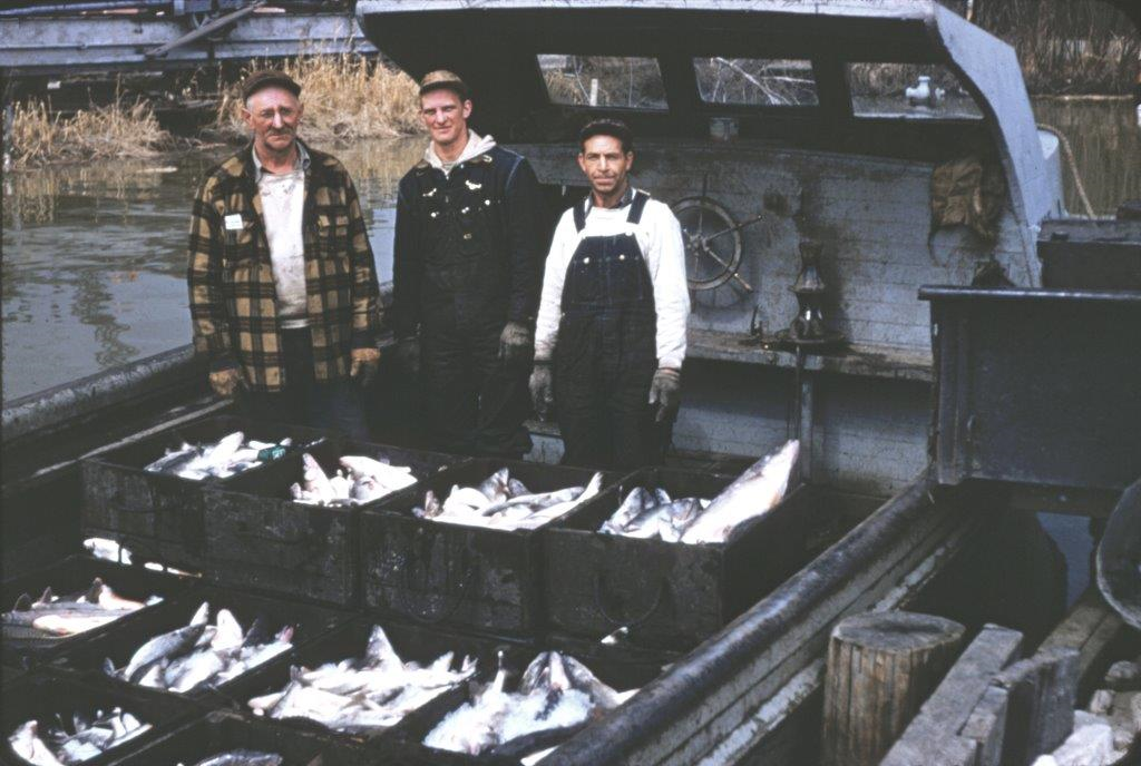
The Great Lakes in the US certainly had a large industry.
Lake Victoria as well.
 www.amnh.org
Lake Victoria as well.
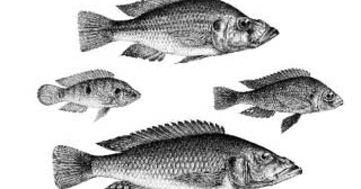
The Biodiversity Crisis: Lake Victoria | AMNH
In the world's largest tropical lake, Nile perch have nearly destroyed the ecosystem. But don't blame the perch—humans are at fault.
Around 1900, the colonial British government established a large fishing industry on the lake. They introduced gill nets, which allowed larger numbers of cichlids to be caught. For decades the lake was heavily overfished.
The US appears to start with 500k unemployed slaves in the South. Why is this? Checking around this seems to be a common thing for slave countries.
Slaves don't start off working in subsistance farms. This should fix itself after a few weeks.
I noticed Africa is lacking in natural harbor provinces besides Cape Vert. This is a good source for what may be good candidates.
 www.jstor.org
The Harbors of Africa on JSTOR
George F. Deasy, The Harbors of Africa, Economic Geography, Vol. 18, No. 4 (Oct., 1942), pp. 325-342
www.jstor.org
Looking at West Africa i think its to simplified. In particular on the Western edge of West Africa Mande is rather over applied even while Bambara exists as separate culture alongside Dyula as well. It would be better to combine those three and add two others. One to represent the diverse non Mande coastal peoples I think would be good. Voltanese could also be split, maybe something for Borgu. Equatorial and Fluvial Bantu are also rather egregious lumping.
Mexican culture map is wrong. Seems to be paradox poor mapping.
Copying from the Paradox map suggestions thread.
Comments from the person I know.
Copying from the Paradox map suggestions thread.
Moreover, Mexican cultures are all wrong. Take a look at this map from 1850, and then at the in-game map. Tarascans are in Oaxaca for some reason, and Nahuas are in... Zacatecas when they should actually eb majority in most of the south, center, and central pacific but definetly not in Zacatecas. Strictly speaking, most of Mexico should be majority indigenous in 1836.
View attachment 1042073
View attachment 1042078
Comments from the person I know.
Tarascan? That's a slur
also, the Purepecha do not live in Oaxaca
Why are the Nahua in Zacatecas?
The Nahua live mostly around the Valley of Mexico and in the Huasteca
And why are the Maya peoples united?
Any change to lower Canada planned? The cities in vanilla doesnt make a lot of sense... Trois-Rivières isnt even in. I think that the state could be easly split in two (but i guess im a little bit bias  ) but if not, is there a rework of the cities planned?
The mod look great!
Thanks!
) but if not, is there a rework of the cities planned?The mod look great!
Thanks!
I think having it part of any of the British Controlled States would create potential for silly wars, so best to separate it into its own state. Very tiny states like SPM will not affect game performance to any great degree.Would it work better if it's part of one of the Canadian Dominion states?
Looking at West Africa i think its to simplified. In particular on the Western edge of West Africa Mande is rather over applied even while Bambara exists as separate culture alongside Dyula as well. It would be better to combine those three and add two others. One to represent the diverse non Mande coastal peoples I think would be good. Voltanese could also be split, maybe something for Borgu. Equatorial and Fluvial Bantu are also rather egregious lumping.
We could definitely look further into West Africa, at this point we are really still in an Open Beta and looking for feedback. If you have concrete suggestions please do suggest them.
Mexican culture map is wrong. Seems to be paradox poor mapping.
Copying from the Paradox map suggestions thread.
Comments from the person I know.
Re Mexico I noticed that the base POP files are rather not correct, although at present POP reworking is not the main focus of the mod. Also we need to be careful regaring creating new culture groups (like splitting the Maya into more discrete units) as more cultures = more lag in game over time.
Any change to lower Canada planned? The cities in vanilla doesnt make a lot of sense... Trois-Rivières isnt even in. I think that the state could be easly split in two (but i guess im a little bit bias
The mod look great!
Thanks!
Yeah, some of the choices for hubs in North America in vanilla were...choices. Splitting states in North America, while helping provide better density of states more comparable to what Europe has, runs the risk of creating a LOT of lag in later game since these new states would just mean lots more immigrant population fragments fpr the processor to count every time calculations are being made for POPs.
Happy to announce that the developers of the Better Politics Mod have kindly produced a Compatch to work with Anno 1836. More information can be found at https://steamcommunity.com/sharedfiles/filedetails/?id=3240661446
Work is also in early stages for the development of a compatch with Morgenrote, so stay tuned.
Work is also in early stages for the development of a compatch with Morgenrote, so stay tuned.
If I have time someday. Most of my sources are for earlier periods as it was used for the MEIOU EU4 mod not the later periods unfortunately.We could definitely look further into West Africa, at this point we are really still in an Open Beta and looking for feedback. If you have concrete suggestions please do suggest them.
I would probably make "Gourmanché" just Gourma and or make it part of the Mossi. Culture wise as well it should be the same. It was one of the Mossi states and should be with them. I would also make them not decentralized but maybe split them up into smaller kingdoms. They should qualifiy as organized kingdoms.
Also btw Gourma/Gurma was the word used to refer to the right bank of the Niger river. Borgu should also extent further West. All the good maps I have of the period have it larger then it is in game. Borgu was rather split but also pretty dangerous, loved all kinds of horrible chemical and biological weapons. They even weaponized rabies.
What is the logic behind dividing Ashanti? And I don't think "Wala" makes much sense, thats just a small kingdom, it should look more like this.

If anywhere is to be decentralized it's prbably here, always been an awkard region.

Both maps 1850 although it looked the same earlier as well.


Also btw Gourma/Gurma was the word used to refer to the right bank of the Niger river. Borgu should also extent further West. All the good maps I have of the period have it larger then it is in game. Borgu was rather split but also pretty dangerous, loved all kinds of horrible chemical and biological weapons. They even weaponized rabies.
What is the logic behind dividing Ashanti? And I don't think "Wala" makes much sense, thats just a small kingdom, it should look more like this.
If anywhere is to be decentralized it's prbably here, always been an awkard region.
Both maps 1850 although it looked the same earlier as well.


- 1
Another comment, Jolof is to large, "Serer" aka Saloum, Siin, and Ndieghem should be larger as should the Cayor/Baol which should reach farther inland, and Futa Tooro should own some more land that is currently eastern Jolof.

