New Steam Screenshots, Updated Map

  • We have updated our Community Code of Conduct. Please read through the new rules for the forum that are an integral part of Paradox Interactive’s User Agreement.
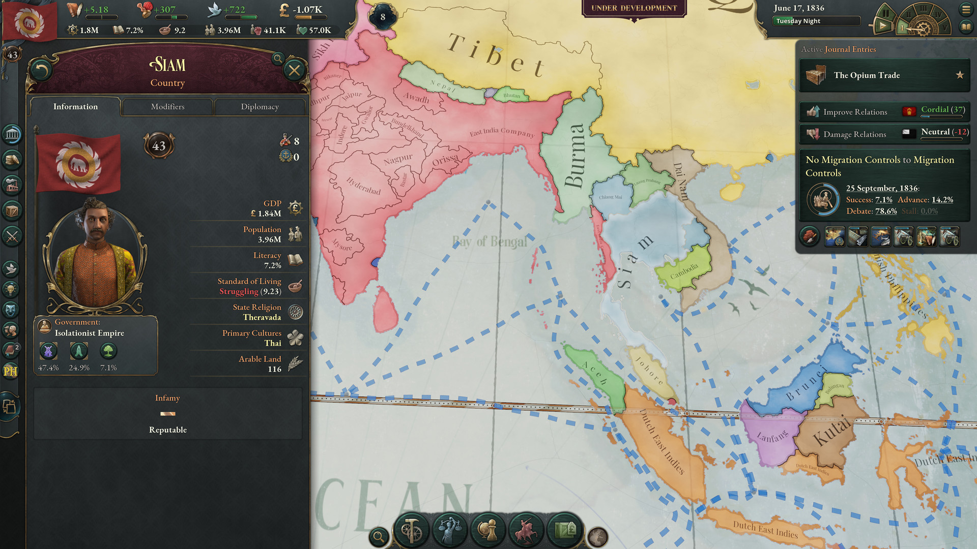
Those Indian Himalayan, Hejazi and Chinese borders are rather sad though. I was hoping for better historical borders and possible territories (like with EU4 and to an extent HoI4), but those three areas look like its pretty much the same as old Vicky2.

Those minor tags look exciting, that said. Do I see two separate tags in Balochistan, a civil war perhaps?
 
Thanks, I hadn't seen that list of countries. I guess that settles it. Still, Tunis doesn't show as the Ottomans' ally in DD#25, and Wallachia and Moldavia have their own map colors. Maybe there are different vassal ranks?
Yep, there are a number of subject types with varying degrees of autonomy. If you haven't read all of the posted Dev Diaries, you can catch up with most of what was covered in the Monthly Update videos and just read the answered questions in the DDs you're interested in.

Subject Pacts (not necessarily an exhaustive list):
  • Protectorate: This is a type of non-colonial subject relationship where the subject is very autonomous, the only restriction placed on them being that they are not able to have a fully independent foreign policy. Can be turned into a Puppet by their overlord through a Diplomatic Play.
  • Puppet: This is a type of non-colonial subject relationship where the subject has no diplomatic autonomy, pays part of their income to their overlord and is part of the overlord’s national market. Can be annexed by their overlord through a Diplomatic Play.
  • Dominion: This is a type of colonial subject relationship where the subject has extensive diplomatic autonomy and can have their own subjects, though they’re still required to be part of their overlord’s market. Can be turned into a Territory by their overlord through a Diplomatic Play.
  • Territory: This is a type of colonial subject relationship where the subject has limited diplomatic autonomy, pays part of their income to their overlord and is part of the overlord’s national market. Can be annexed by their overlord through a Diplomatic Play.
  • Tributary: This is a special subject relationship only available to Unrecognized Powers where the subject has extensive diplomatic autonomy and can have their own subjects, though they’re required to pay part of their income to their overlord. Can be turned into a Vassal by their overlord through a Diplomatic Play.
  • Vassal: This is a special subject relationship only available to Unrecognized Powers where the subject has no diplomatic autonomy, pays part of their income to their overlord and is part of the overlord’s national market. Can be annexed by their overlord through a Diplomatic Play.
 
  • 1Like
Reactions:
Has anyone else but @wilcoxchar noticed how strange the Delmarva peninsula looks?
1638471949725.png

Looks like this on the original as well.
 
Also, I'm wondering about the map of Canada; are those little pockets of land scattered around the east just a an in development glitch, or what?
I believe the "little pockets" in Quebec are lakes.
 
  • 1
Reactions:
Has anyone else but @wilcoxchar noticed how strange the Delmarva peninsula looks?
View attachment 781718
Looks like this on the original as well.
Needs more curvature on the Chesapeake Bay. Also from that angle the upper part of the VA Eastern Shore blends with the ocean, but on the closer screenshot you can see it more clearly.
 
I believe the "little pockets" in Quebec are lakes.

The ones in Quebec in the world map definitely are lakes, I was more thinking the ones that are filled in red on the close-up map of the North America, like the 4 or 5 just northwest of Lake Superior or the two in the northern Ontario interior, or the visible one just south of James Bay. Those are certainly not lakes. The spot near Lake Superior helps suggest on-going development since the area around the future Cook County, Minnesota is separated from the rest of the USA by a small purple blotch, which I guess could be the Lake Superior Chippewa or something, but is likely a glitch.
 
The ones in Quebec in the world map definitely are lakes, I was more thinking the ones that are filled in red on the close-up map of the North America, like the 4 or 5 just northwest of Lake Superior or the two in the northern Ontario interior, or the visible one just south of James Bay. Those are certainly not lakes. The spot near Lake Superior helps suggest on-going development since the area around the future Cook County, Minnesota is separated from the rest of the USA by a small purple blotch, which I guess could be the Lake Superior Chippewa or something, but is likely a glitch.
It is weird, my suspicion is that those are provinces colonized by Upper Canada or Great Britian directly rather than HBC. Though it could be some glitch, I don't see those in the Jan 1836 world map though it's hard to tell.
 
It is weird, my suspicion is that those are provinces colonized by Upper Canada or Great Britian directly rather than HBC. Though it could be some glitch, I don't see those in the Jan 1836 world map though it's hard to tell.

Yeah, they theoretically could be enclaves of Upper/Lower Canada, but I have my doubts. I'm broadly familiar with the history of those areas, and can't imagine why that's be the case.
 
I'm glad to see vassals adopt the suzerain's map color. ;)

I've not seen confirmation that the map name of the suzerain stretches across vassal borders yet, though that was a feature from Victoria II so there's a good chance at least.
 
Where the hell is New Zealand???
Of all the angles you can take the screenshot, you pick the one where you show Japan twice, Australia and all the Pacific Islands BUT LEAVE OUT NEW ZEALAND!.

Bloody typical.
 
  • 6Haha
  • 1
Reactions:
Where the hell is New Zealand???
Of all the angles you can take the screenshot, you pick the one where you show Japan twice, Australia and all the Pacific Islands BUT LEAVE OUT NEW ZEALAND!.

Bloody typical.

New Zealand doesn’t exist. It’s a deep state conspiracy.
 
  • 4Haha
  • 1
Reactions:
Caucasus was (and still is) a geopolitical issue between Russia, Turkey and Iran.

Due to 0 representation there in Victoria 2 Russia steamrolls into Eastern Anatolia like it's 1914. If you played you know.

Russia being too strong there (due to painting it's Caucasus) makes Ottomans extremely weak against them. Unless you give them ahistorical buffs and make them stronger elsewhere.

Level of detail in Africa actually is far less consequential than in Caucasus as that region is weighing power of Russian Empire (GP), Ottoman Empire (falling GP) and Iran (major unciv also known as major unrecognised) - and details of 1836 (Caucasus War) is restraining Russian influence quite a lot - at the very least by limited logistics, one of reasons the Russian Empire used Cossack corps in Caucasus - they were also sustaining themselves and settling down.

If AI won't be stupid it'll be smacking Ottomans easily and I don't want to see it that challengeless. As well as workarounds that buff up Ottomans and make game worse for Greece and Egypt.

So yes, correct colonization after 1870s is far less important than geopolitical balance of 1836 that in game is painted as if it is 1914.

I think you can make your point without putting down Africa. Africa's set up is important. The Caucasus' set up is also important. There's no reason to compare the two.

That being said: the poster who argued that the fate of the decentralised states was already sealed by 1836 is probably correct. It is difficult to acquire the knowledge, technical ability, and desire to radically change one's country, especially when one has no first hand experience with another culture. And even if an indigenous version of Stalin rose to power it wouldn't matter because his people, and the elites that benefit from the old system, would overthrow him.

That being said: this is a game! There's no reason Paradox needs to be accurate in all things.
 
  • 1
Reactions:
Where the hell is New Zealand???
Of all the angles you can take the screenshot, you pick the one where you show Japan twice, Australia and all the Pacific Islands BUT LEAVE OUT NEW ZEALAND!.

Bloody typical.
It's *New* Zealand, probably just wasn't invented yet in 1836.
 
  • 28Haha
  • 2Love
  • 1Like
  • 1
Reactions:
  • 7Haha
Reactions: