Wait!!!!! soooo, IR doesnt have used a conic map projection like Lambert or Albers or an Equidistant ones, but just curves the Mercator ones....
I am going to mad, to be honest.
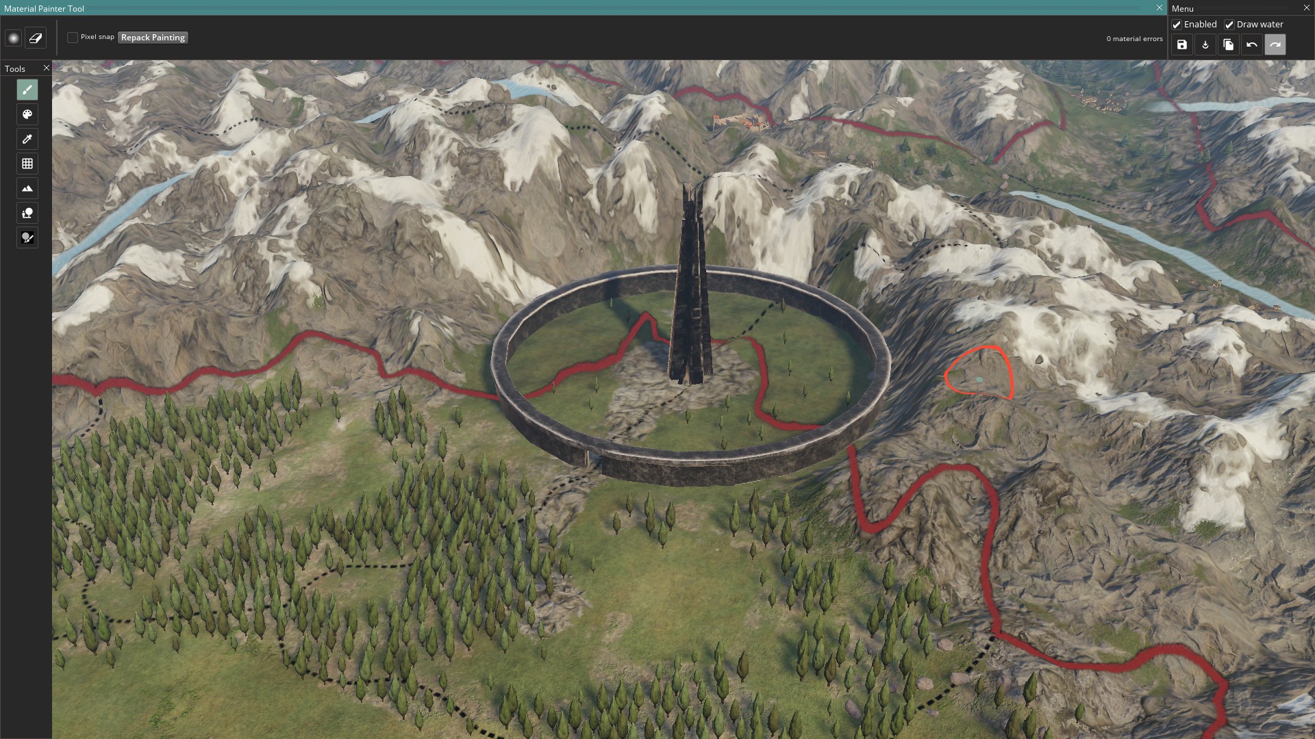
So, whether there could be any parameters about IR map that can be shown to us?
Wait ,if whether the height map is found from there? https://visibleearth.nasa.gov/view.php?id=73934.
This is not a map of mercartor map projection.
If that's not mercator i'm calling it the wrong thing, my bad
")
But yeah, that's the height data from Nasa that we've been working with.
And @Talvos , @shadowofneptune , that looks like the right data to change, do note however that they are Defines files, which means they currently cant be changed by mods.
It's possible to force test it by editing the game files, but like mentioned earlier we need to enable defines modding before regular mods can do it. (I am prodding coders about this whenever I have the chance).