Everyone, thanks for the pics. Vax, Thure, Leonaru: I will give you credit for the graphics-work in the next version of Kaiserreich.
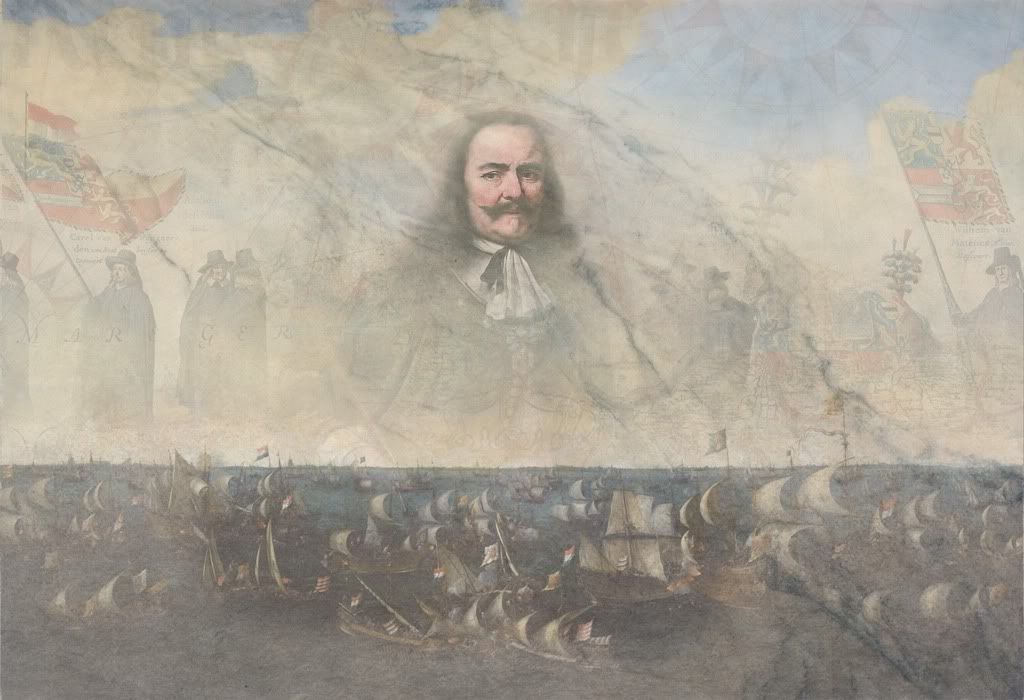
@ Vax: the Dutch skin looks great, just a small nitpick. The map you've used in the background isn't correct. We Dutch have the confusing habit of altering our coastline. Your map displays the then Zuiderzee Works, which where just finished in 1967.
@ Vax: the Dutch skin looks great, just a small nitpick. The map you've used in the background isn't correct. We Dutch have the confusing habit of altering our coastline. Your map displays the then Zuiderzee Works, which where just finished in 1967.
") which map should I use to make the skin more historically right? I'd remake it.
which map should I use to make the skin more historically right? I'd remake it.